FEATURES

Local Heroes: Boxborough Firefighters Thank Their Town
By Tamar Russell Brown
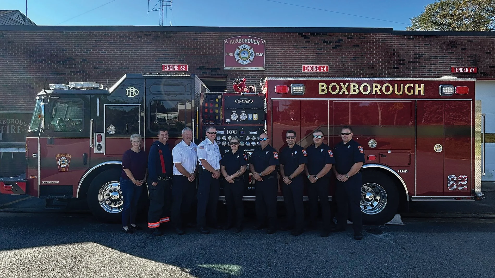
From left to right, Kim Pelser, Capt. Jason Malinowski, Chief John Kivlan, Capt. Shawn Gray, FF Courtney Panaro, FF Joe Nanigian, FF Derek Dirubbo, FF Sean Parlon, and FF Steven Wright.
Boxborough Fire Chief John P. Kivlan is ready for the challenge! With just at one year at the Boxborough Fire Department, Chief Kivlan treats his new role with honor and humility.
John knows that many in the community love to call firefighters “local heroes”, but he says they are just “doing their job”. And a hard job it is! One of the real challenges in a small community is training and keeping per diem firefighters on staff. “In a small town, it is hard to get enough per diem firefighters, because everyone has other responsibilities,” he explains.
The Boxborough Fire Department, one of the smallest in the region, has 10 full-time firefighters and 30 per diem members for a department that covers 10 square miles. When needed, the department aids in other towns, including Harvard, Acton, Stowe, Maynard and Bolton.
Chief Kivlan spent 26 years at the Chelmsford Fire Department. “I realized that I was comfortable at my job in Chelmsford,” he says. “Boxborough was close to home, and I was also ready to challenge myself.” One challenge has been the fire station itself. John was excited to report that on Tuesday, October 14 at the fall Town Meeting, attended by 412 residents, voters approved an adjustment in zoning which will allow the town to work toward a new facility.
During our conversation, John described with pride a wonderful program that the fire department offers for seniors. The Home Safety Checkup Program provides homeowners with the following checkups:
Check each smoke and carbon monoxide detector in the home to ensure that it is functioning properly on the day of the visit
Replace the batteries in these devices
Ensure that houses are properly numbered to assist emergency personnel with locating your house in the event of an emergency
Make recommendations if required smoke or carbon monoxide detectors are missing or expired.
For more information about this program, visit: https://www.boxborough-ma.gov/261/Home-Safety-Checkup-Program.
To learn more about the fire department, visit:
502 Massachusetts Avenue
Boxborough, MA 01719
Phone (978) 264-1775
www.boxborough-ma.gov